
Boundary Survey for Preserving Survey Monuments During Construction
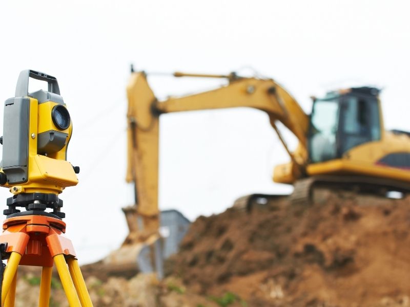
A boundary survey before construction, followed by a clear protection plan, keeps those markers in place or makes sure they’re properly reset when they can’t be saved. A survey monument is often nothing more than an iron rod with a small plastic cap, sitting a few inches below the grass. A loader can knock it out in a second, and nobody on site may notice. Once it’s gone, the next person who needs that corner has to pay to have it reestablished.
Identifying Existing Survey Monuments Before Construction Begins
Survey monuments are physical markers that show property corners, line points, or reference positions. They can be iron rods, pipes, concrete monuments, nails in pavement, or disks set in curbs. Some mark private lot corners, while others are part of public control networks used by many surveyors.
A boundary survey is the best way to find them before work starts. The surveyor researches deeds, plats, and prior surveys, then searches the site for markers that should exist. Monuments found in the field are measured and compared to the record so their positions are confirmed.
Do this before clearing and grubbing begins. Markers are much easier to find in an undisturbed yard or lot than in churned soil. If the project has a tight start date, schedule the survey early enough to finish ahead of the first equipment on site.
Documenting Boundary Markers Within Proposed Construction Areas
Once monuments are found, they need to be documented clearly. The surveyor shows each one on the boundary survey with its type, condition, and location. That record becomes the reference if a marker is later disturbed.
Pay close attention to markers inside or near the work zone. Corners along driveways, utility routes, and building pads are at the highest risk. Monuments on neighboring land or in the right-of-way can also be close enough to get hit.
Ask your surveyor to set reference points, sometimes called witness marks or ties, for monuments at risk. These are measured points placed outside the work area so the original position can be rebuilt if the marker is lost. A short list of at-risk monuments with photos and notes is also useful for the site superintendent.
Information to record for each monument
- Type of marker and any cap or stamp
- Condition when found
- Measured position and reference ties
- Distance from planned work areas
- Photos showing the marker in context
Coordinating Monument Protection With Excavation and Grading Plans
Protection works best when it’s built into the plans. Compare monument locations with the grading, utility, and site plans before construction starts. Any marker inside a cut, fill, trench, or paving area will likely be disturbed.
For markers outside the work area, simple protection goes a long way. Flag them, mark them with paint, or place lath or fencing around them. Tell equipment operators where they are during the preconstruction meeting so they know what to avoid.
For markers that can’t be avoided, plan the reset ahead of time. The surveyor can document the position and set offset points before the marker is removed. Some states and local governments have rules about disturbing survey monuments, especially public control points, so check what applies before work starts.
Managing Survey Monuments Affected by Construction Activities
Even with good planning, monuments sometimes get disturbed. A marker may be bent, buried under fill, pulled out by equipment, or shifted by trenching nearby. Any of these can make it unreliable.
The first step is to report it. Crews should flag the spot, stop work near it if possible, and notify the project manager and surveyor. Trying to push a bent rod back into place usually makes things worse, since the marker is no longer in its true position.
The surveyor can then reestablish the monument from reference ties, nearby markers, and the boundary survey record. A reset monument is typically set with a new cap identifying the surveyor. Depending on the situation, the surveyor may also prepare documentation of the reset for the project file or public record.
Verifying Boundary Monument Positions After Construction Completion
When construction wraps up, check the monuments again. Final grading, landscaping, and paving can bury or move markers that survived the earlier phases. A post-construction check confirms which monuments are still in place and in the right position.
This step protects owners and future buyers. Property corners that survive construction help prevent fence disputes and confusion with neighbors later. They also make future surveys faster and less expensive.
Ask your surveyor to include monument verification in the closeout scope. It can be paired with an as-built survey if one is required. Keep the final report or survey drawing with your project records for future reference.
Frequently Asked Questions
What is a survey monument?
A survey monument is a physical marker that shows a property corner, line point, or reference position. Common types include iron rods, pipes, concrete markers, and disks in pavement. Surveyors use them to locate boundaries and tie new work to existing records. Losing one can make future surveys more difficult and costly.
Who is responsible if a monument is destroyed during construction?
Responsibility depends on contracts, local rules, and who disturbed the marker. Many contracts assign it to the contractor whose work caused the damage. Some jurisdictions have specific rules about disturbing survey monuments. Check your contract and local requirements, and talk with your attorney if questions come up.
Can a contractor reset a monument?
A monument should be reset by a licensed surveyor. The surveyor uses records and measurements to put it back in the correct position. Resetting it by guesswork can create boundary problems later. Report any disturbed marker so the surveyor can handle it properly.
