
How Drone Surveying Helps Measure Construction Stockpiles
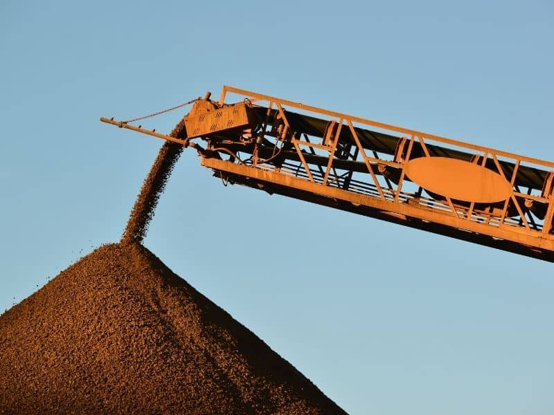
Piles of sand, gravel, and soil sit on nearly every active construction site. That material is money, and knowing how much you have matters. Guessing at the amount leads to over-ordering, shortages, and billing disputes.
Measuring a stockpile the old way is slow and risky. A crew has to walk the pile with equipment, climbing uneven, shifting material. The numbers take time and can miss the mark. On a busy site, that delay and risk add up.
Here is the takeaway. Drone surveying measures stockpile volumes quickly, safely, and with strong accuracy. Drone surveying uses a small aircraft to capture detailed images and data from above. The sections below explain how it works, how the volumes are figured, and why sites rely on it.
Why Construction Stockpiles Need Accurate Volume Measurements
A stockpile is a pile of material stored on a site, such as sand, gravel, soil, or crushed rock. Knowing its volume tells you how much material you have on hand. That number drives ordering, billing, and planning.
Bad measurements cost money in several ways. Regular volume checks help confirm how much material is actually on site. Order too much, and cash sits in a pile you do not need. Order too little, and work stops while you wait for delivery. Inaccurate counts can also spark disputes between contractors, suppliers, and owners.
Accurate volumes keep a project honest and on track. They confirm that what was delivered matches what was billed. They help managers plan the next phase of work. On large sites around Jacksonville, where earthwork moves fast, that accuracy pays off quickly.
How Drone Surveying Captures Stockpile Surface Data
Drone surveying starts with a flight over the site. A drone flies a planned pattern above the stockpiles. As it flies, it takes many overlapping photos of the piles and the ground around them, making aerial monitoring an efficient way to document changing site conditions.
Those photos hold more than a picture. Software combines them into a detailed model of the surface. Ground control points, which are marked and measured spots on the ground, help tie the model to real-world positions. This keeps the data accurate and to scale.
The result is a precise map of each pile’s shape. The model captures the height, slope, and spread of the material. It records the surface in fine detail without anyone climbing the pile. That detail is what makes an accurate volume possible.
Calculating Stockpile Volumes From Drone Survey Data
Once the surface model is built, the volume comes next. Software measures the space between the pile’s surface and the ground beneath it. That space is the volume of material in the pile.
The process depends on a good base surface. The base is the ground level the pile sits on, sometimes hidden under the material. A surveyor sets this base carefully so the volume reflects only the stockpile. Getting the base right is key to an accurate number.
Drone surveying handles complex piles well. Real stockpiles are rarely neat cones, with odd shapes and uneven bases. The detailed model measures those shapes far better than hand methods. A few things affect the final accuracy:
- The quality of the drone data and flight
- Accurate ground control points
- A correct base surface under the pile
- Clear conditions during the flight
A licensed surveyor reviews the data to confirm the numbers hold up.
Improving Safety and Efficiency on Active Construction Sites
Safety is a big reason sites turn to drone surveying. Measuring a pile on foot means climbing loose, steep material. That carries a real risk of slips and falls. A drone gathers the same data from the air with no one on the pile.
The speed helps just as much. A drone can cover a large site in a single short flight. Ground crews would need hours or days to match that reach. Faster data means faster decisions on an active site.
Drone surveying also keeps crews out of busy work zones. Machines and trucks move constantly on a live site. Fewer people walking among stockpiles means fewer hazards. The work gets done without slowing the rest of the site.
Using Repeat Drone Surveys to Track Material Changes
A single measurement is useful, but tracking over time is better. Drone surveying makes repeat surveys quick and easy. Flying the same site regularly shows how the stockpiles change.
These repeat flights tell a clear story. They show how much material came in and how much was used. Comparing surveys week to week helps managers track progress and spot problems. If a pile shrinks faster than expected, the data flags it early.
Regular tracking supports better planning and records. It helps confirm deliveries, monitor usage, and plan future orders. It also gives owners and lenders a clear record of site activity. Over a long project, that ongoing data is a strong tool.
Frequently Asked Questions
What is drone surveying?
Drone surveying uses a small aircraft to capture images and data from above a site. Software turns the overlapping photos into a detailed, scaled model of the ground. Surveyors use it for mapping, measuring, and monitoring sites. For stockpiles, it measures pile volumes without anyone climbing the material.
How accurate is drone surveying for stockpiles?
Done properly, drone surveying gives strong, reliable volume measurements. Accuracy depends on good flight data, ground control points, and a correct base surface. Clear conditions during the flight help too. A licensed surveyor reviews the results to confirm they meet the project’s needs.
Is drone surveying faster than measuring by hand?
Yes, it is much faster than walking a pile with equipment. A drone can cover a large site in one short flight. Ground methods can take hours or days for the same area. The speed lets managers make decisions without long delays.
Why is drone surveying safer for stockpile measurement?
Measuring a pile on foot means climbing loose, steep, shifting material. That creates a real risk of slips and falls. Drone surveying gathers the data from the air instead. No one has to climb the pile or walk through busy work zones.
Can drone surveys track stockpiles over time?
Yes, repeat flights make tracking simple and quick. Flying the same site regularly shows how piles grow and shrink. That helps confirm deliveries, monitor usage, and plan orders. Over a project, the ongoing data becomes a useful record.
